-
×
- Inicio
- Impresiones artísticas ▸
- Artista ▸
- Categoria ▸
- Estilos artísticos ▸
- Marco de fotos ▸
-
Medios de comunicación impresos ▸
- Todos los soportes de impresión
- Lienzo Leonardo (satinado)
- Lienzo Salvador (mate)
- Lienzo Raphael (mate)
- FineArt foto mate
- FineArt foto satinado
- FineArt foto baryte
- FineArt Photo Glossy
- Acuarela Cartón Munch
- Acuarela Cartón Renoir
- Acuarela Cartón Turner
- Acuarela Cartón Dürer
- Natural Line Hemp
- Natural Line Rice
- Kozo White, 110g
- Kozo Natural, 110g
- Inbe White, 125g
- Unryu, 55g
- Bamboo, 110g
- Premio Unryu, 165g
- Murakumo Natural, 42g
- Bizan Natural, 300g
- Bizan White, 300g
- Compuesto de aluminio 3mm
- Vidrio acrílico 5mm
- Ordene un Set de Prueba
- ¿Qué medio de impresión es el adecuado?
Lienzo
Papel fotográfico
Cartulina para acuarela
Natural Line
Papel japonés
Soportes especiales
Más información
-
Ayuda y servicio ▸
- Contáctanos
- Vende tu arte
- Preguntas frecuentes
- Puestos vacantes
- Reclamación
- Pedir muestras
- Pedir vales
- Costes de envío
- Tiempo de producción
- Sostenibilidad
- Búsqueda de imágenes
- Solicitudes especiales
- ¿Quiénes somos?
- Política de precios
- Política de la empresa
- Compromiso de calidad
- Bastidor
- Paspartú
- Marcos decorativos
- Acristalamiento
- Filetes
- Sistemas de montaje
- Soportes de impresión
- Consejos de cuidado
- Pie de imprenta
- AGB
- Privacidad
- Derecho de revocación
Información y servicio
Más información
Cosas que vale la pena saber
Información legal
- Tienda ▸
- Contacto


.jpg)
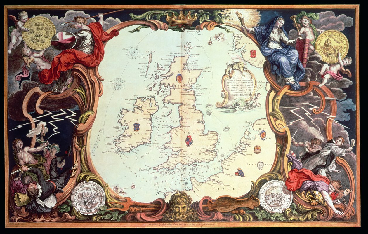
_Adams_-_The_track_of_the_Armada_around_Britain_and_Ireland_-_(MeisterDrucke-1501144).jpg)
.jpg)
.jpg)
.jpg)
.jpg)
.jpg)
.jpg)
.jpg)
_Adams_-_The_route_track_of_the_Spanish_Armada_through_the_English_Channel_into_the_North_-_(MeisterDrucke-1509788).jpg)
 - (MeisterDrucke-53272).jpg)
.jpg)
.jpg)
_-_(MeisterDrucke-72108).jpg)
.jpg)
.jpg)
.jpg)
_mathematician_cosmographer_an_-_(MeisterDrucke-1062916).jpg)
.jpg)
.jpg)
_-_(MeisterDrucke-1410501).jpg)
.jpg)
 - (MeisterDrucke-79670).jpg)
.jpg)
.jpg)
_-_(MeisterDrucke-1350474).jpg)
.jpg)
.jpg)
.jpg)
.jpg)
.jpg)
.jpg)
.jpg)
.jpg)
.jpg)
.jpg)
_-_(MeisterDrucke-1008944).jpg)
.jpg)
.jpg)
.jpg)
.jpg)
.jpg)
.jpg)
.jpg)
.jpg)
.jpg)
_-_(MeisterDrucke-1426847).jpg)
.jpg)
.jpg)
.jpg)
.jpg)
.jpg)
_-_(MeisterDrucke-24407).jpg)
.jpg)
.jpg)
.jpg)
_1913_-_(MeisterDrucke-804831).jpg)
.jpg)
.jpg)


