-
 ×
- Inicio
- Impresiones artísticas ▸
- Artista ▸
- Categoria ▸
- Estilos artísticos ▸
- Marco de fotos ▸
- Medios de comunicación impresos ▸
- Todos los soportes de impresión
- Lienzo Leonardo (satinado)
- Lienzo Salvador (mate)
- Lienzo Raphael (mate)
- FineArt foto mate
- FineArt foto satinado
- FineArt foto baryte
- FineArt Photo Glossy
- Acuarela Cartón Munch
- Acuarela Cartón Renoir
- Acuarela Cartón Turner
- Acuarela Cartón Dürer
- Natural Line Hemp
- Natural Line Rice
- Kozo White, 110g
- Kozo Natural, 110g
- Inbe White, 125g
- Unryu, 55g
- Bamboo, 110g
- Premio Unryu, 165g
- Murakumo Natural, 42g
- Bizan Natural, 300g
- Bizan White, 300g
- Compuesto de aluminio 3mm
- Vidrio acrílico 5mm
- Ordene un Set de Prueba
- ¿Qué medio de impresión es el adecuado?
Lienzo
Papel fotográfico
Cartulina para acuarela
Natural Line
Papel japonés
Soportes especiales
Más información
- Ayuda y servicio ▸
- Contáctanos
- Vende tu arte
- Preguntas frecuentes
- Puestos vacantes
- Reclamación
- Pedir muestras
- Pedir vales
- Costes de envío
- Tiempo de producción
- Sostenibilidad
- Búsqueda de imágenes
- Solicitudes especiales
- ¿Quiénes somos?
- Política de precios
- Política de la empresa
- Compromiso de calidad
- Distinciones
- Bastidor
- Paspartú
- Marcos decorativos
- Acristalamiento
- Filetes
- Sistemas de montaje
- Soportes de impresión
- Consejos de cuidado
- Pie de imprenta
- AGB
- Privacidad
- Derecho de revocación
Información y servicio
Más información
Cosas que vale la pena saber
Información legal
- Tienda ▸
- Contacto





 Ver en 3D / RA
 Agregar a los favoritos
 Seleccione color de fondo
 Ver pintura en una habitación
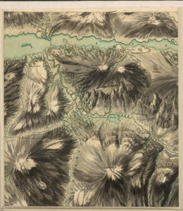
.jpg "Vista panorámica de la posición extendida actual de los ejércitos aliados de Inglaterra, Francia, Turquía y Cerdeña, de un dibujo en acuarela de Frank C. Hughes, pub. por Stannard y Dixon, 1855")
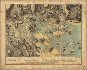
.jpg "Vista panorámica del Mar de Azov mostrando la posición aliada, de cartas y planes del gobierno y de bocetos hechos por un ingeniero militar, pub. por Stannard y Dixon, 1855")


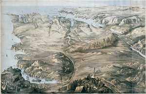
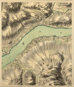
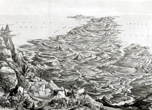
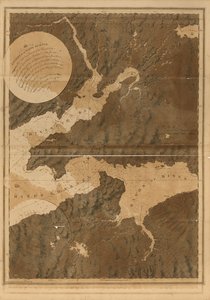
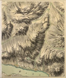
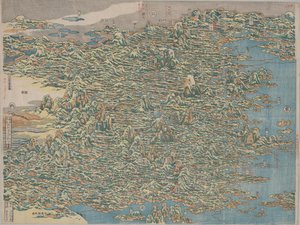
 - (MeisterDrucke-78390).jpg "Vista panorámica de todo el Imperio de Rusia, de")
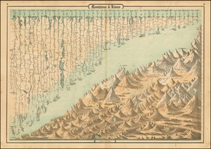
.jpg "Vista comparativa de las longitudes de los principales ríos de Escocia")
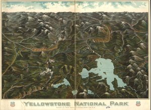
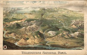
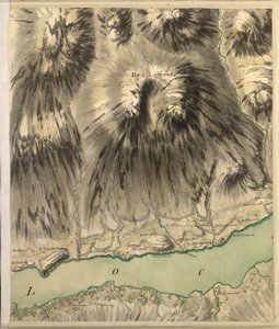
.jpg "Panorama del teatro de guerra: Vista aérea de Luisiana, Misisipi, Alabama y parte de Florida, 1861")
.jpg "Vista panorámica de la Torre Malakoff y Obras Exteriores, la Batería Redan, el Mamelón y las Canteras, pub. 1855 por Stannard y Dixon")
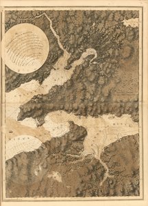
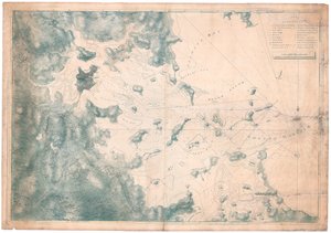


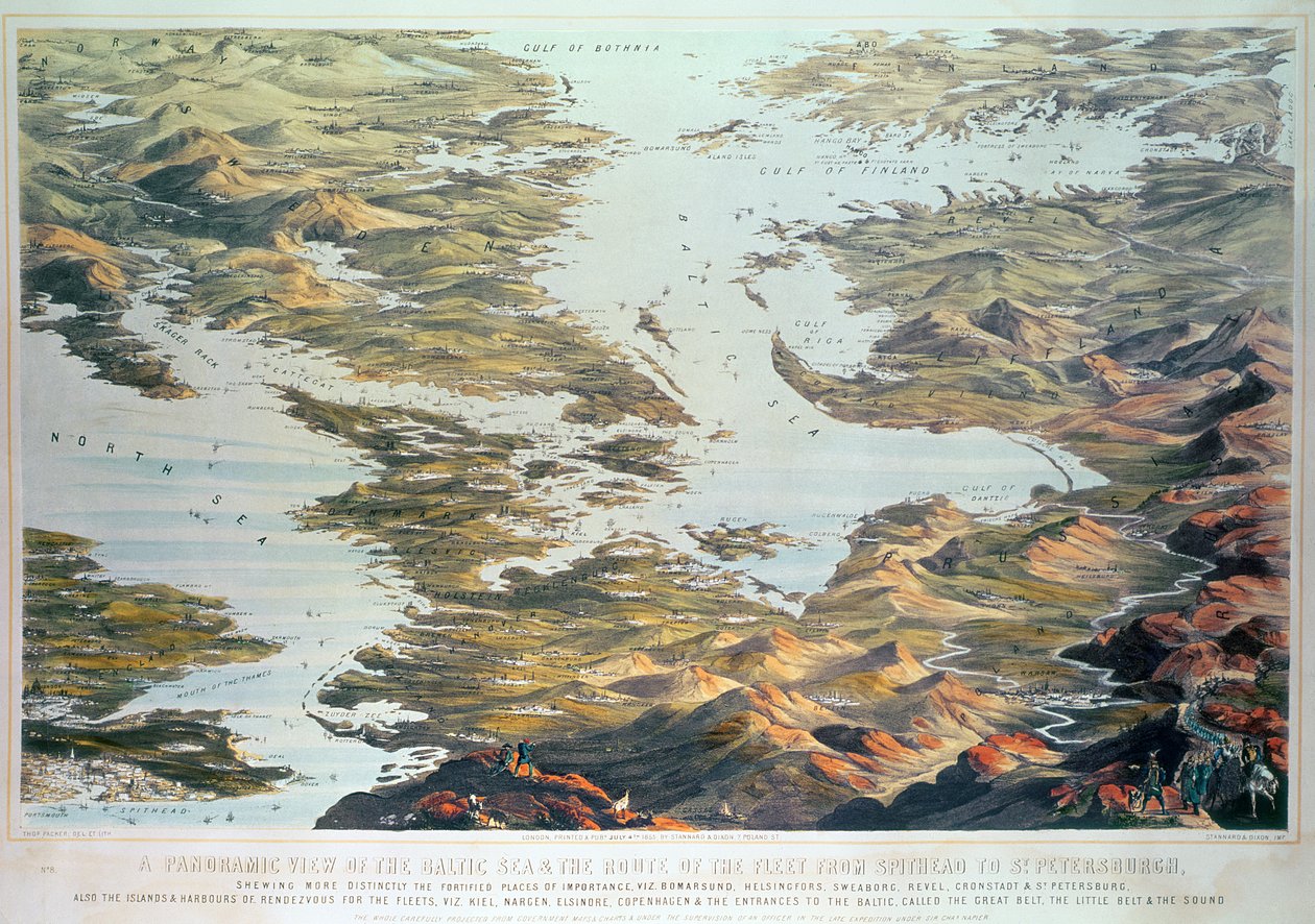
.jpg "Vista panorámica del mar Báltico y de la ruta de la flota desde Spithead hasta San Petersburgo, a partir de mapas y cartas náuticas gubernamentales realizados bajo la supervisión de un oficial de la expedición dirigida por Sir Charles")
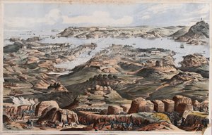
.jpg "Vista panorámica de las defensas externas e internas de Sebastopol, las baterías, trincheras y obras de asedio de los aliados de los bocetos de un ingeniero militar en el personal de Sir J. Burcoyne")


 - (MeisterDrucke-85508).jpg "Mapa de Phillipsburg, de «Guerre de l")
.jpg "Mapa de King")
.jpg "Mapa n.º 5 que muestra la ruta de la flota de la Armada, grabado por Augustine Ryther, 1588")

.jpg "Mapa de Turquía, Arabia y Persia, según Guillaume de L")
.jpg "Mapa de la batalla de Dresde, publicado por William Blackwood and Sons, Edimburgo y Londres, 1848")
.jpg "Mapa de Argelia, 1876")

.jpg "Mapa de Europa, 1841")

 - (MeisterDrucke-229132).jpg "Vista de El Castillo, 1844")
.jpg "El prendimiento de Cristo")

 and Darius III (d330 BC) in 333 BC Roman floor mosaic removed from the Casa del Fauno (House of the Faun) - (MeisterDrucke-176569).jpg "El mosaico de Alejandro, que representa la batalla de Issos entre Alejandro Magno (356-323 a. C.) y Darío III (m. 330 a. C.) en 333 a. C., mosaico de suelo romano de la Casa del Fauno (Casa del Fauno)")
.jpg "Los comedores de patatas, 1885")
 - (MeisterDrucke-22060).jpg "Melocotoneros rosas (Souvenir de Mauve)")
.jpg "Tarde de verano en la playa de Skagen. Anna Ancher y Marie Krøyer pasean juntas.")

 +43 4257 29415
 support@meisterdrucke.com
 Mo-Do: 7:00 - 16:00 | Fr: 7:00 - 13:00