-
 ×
- Inicio
- Impresiones artísticas ▸
- Artista ▸
- Categoria ▸
- Estilos artísticos ▸
- Marco de fotos ▸
- Medios de comunicación impresos ▸
- Todos los soportes de impresión
- Lienzo Leonardo (satinado)
- Lienzo Salvador (mate)
- Lienzo Raphael (mate)
- FineArt foto mate
- FineArt foto satinado
- FineArt foto baryte
- FineArt Photo Glossy
- Acuarela Cartón Munch
- Acuarela Cartón Renoir
- Acuarela Cartón Turner
- Acuarela Cartón Dürer
- Natural Line Hemp
- Natural Line Rice
- Kozo White, 110g
- Kozo Natural, 110g
- Inbe White, 125g
- Unryu, 55g
- Bamboo, 110g
- Premio Unryu, 165g
- Murakumo Natural, 42g
- Bizan Natural, 300g
- Bizan White, 300g
- Compuesto de aluminio 3mm
- Vidrio acrílico 5mm
- Ordene un Set de Prueba
- ¿Qué medio de impresión es el adecuado?
Lienzo
Papel fotográfico
Cartulina para acuarela
Natural Line
Papel japonés
Soportes especiales
Más información
- Ayuda y servicio ▸
- Contáctanos
- Vende tu arte
- Preguntas frecuentes
- Puestos vacantes
- Reclamación
- Pedir muestras
- Pedir vales
- Costes de envío
- Tiempo de producción
- Sostenibilidad
- Búsqueda de imágenes
- Solicitudes especiales
- ¿Quiénes somos?
- Política de precios
- Política de la empresa
- Compromiso de calidad
- Distinciones
- Bastidor
- Paspartú
- Marcos decorativos
- Acristalamiento
- Filetes
- Sistemas de montaje
- Soportes de impresión
- Consejos de cuidado
- Pie de imprenta
- AGB
- Privacidad
- Derecho de revocación
Información y servicio
Más información
Cosas que vale la pena saber
Información legal
- Tienda ▸
- Contacto





 Ver en 3D / RA
 Agregar a los favoritos
 Seleccione color de fondo
 Ver pintura en una habitación
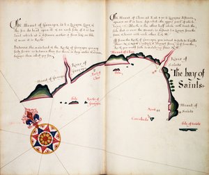
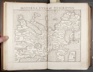
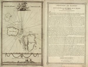
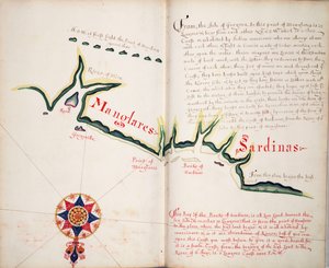
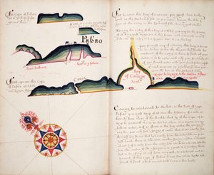
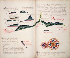
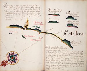
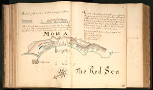
.jpg "Hojas 3v y 4r, de Diversos viajes sobre el descubrimiento de América... 1582")
.jpg "Mapa de la costa de Nueva Zelanda, ilustración de Un diario de un viaje a los mares del sur: en el barco de Su Majestad, el Endeavour, 1794")
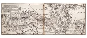
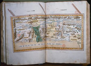
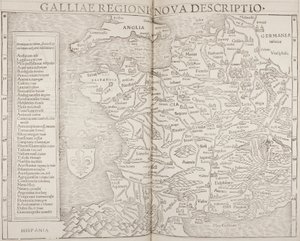
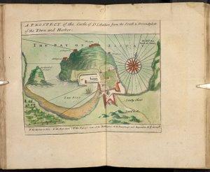
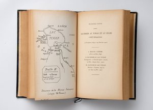
.jpg "Tabula Prima Europa, de")


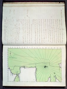

.jpg "Volumen Encuadernado, Recueil des Ouvrages en Serrurerie...sur la place Royale de Nancy (Una Colección de Diseños de Cerrajería para el Palacio Real de Nancy)")
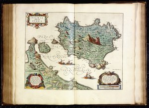
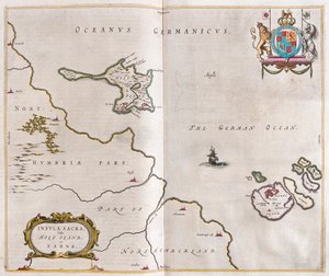
.jpg "Broome, la residencia de Sir Basil Dixwell, de")

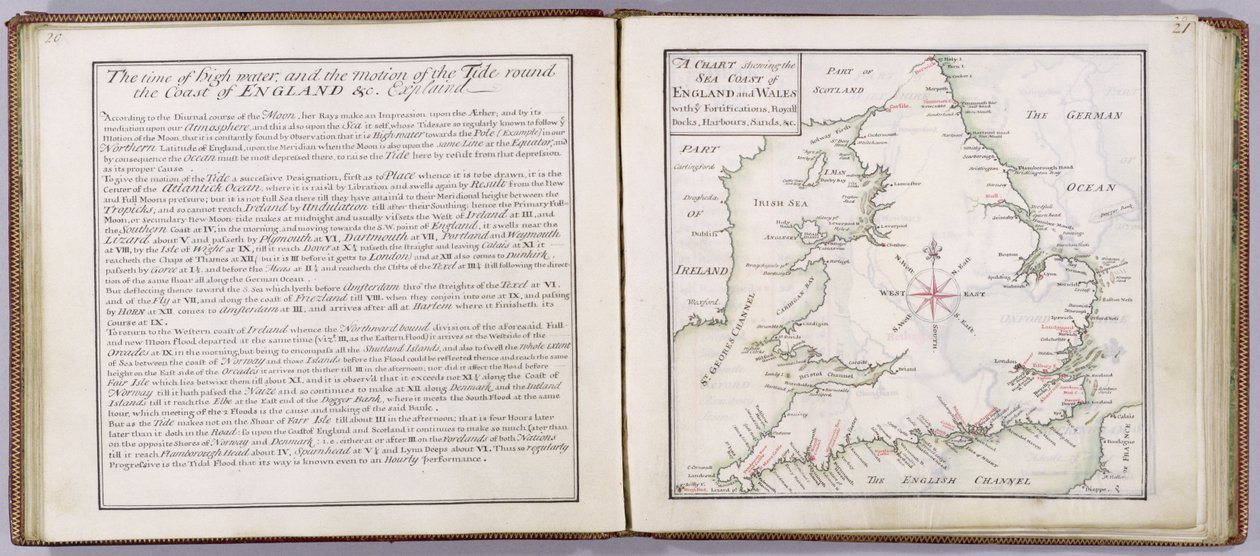
 - (MeisterDrucke-41908).jpg "Carta que muestra la costa marítima de Inglaterra y Gales, lámina de ’A Compleat Sett of Mapps of England and Wales in General...’, 1724")
.jpg "Tunbridge Wells, de")
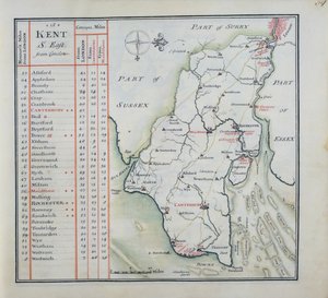
.jpg "Página de Título de Un Conjunto Completo de Mapas de Inglaterra y Gales en General..., 1724")
 engraved by Johannes Kip (c1652-1722) published c1750 (en - (MeisterDrucke-133065).jpg "Tunbridge Wells, de")
.jpg "Portada de Un Conjunto Completo de Mapas de Inglaterra y Gales en General..., 1724")
.jpg "La perspectiva oeste de Knole, de")
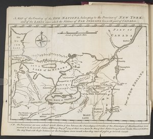
.jpg "Mapa de América Británica")
 - (MeisterDrucke-361591).jpg "Mapa de Florencia, 1843 y 1866 (para el detalle, véase 100311)")
.jpg "Detalle de Constantinopla del mapa de Peutinger")
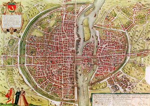
 - (MeisterDrucke-225587).jpg "Mapa de África, publicado en 1700, París")
.jpg "Ms 988 tomo 3 fol.49 Plano y mapa de Saint-Jean-Pied-de-Port, del")
 - (MeisterDrucke-164074).jpg "Un velero disparando su cañón, detalle de un mapa del Pacífico, China y América, 1599")
.jpg "Mapa de la batalla de Marengo, publicada por William Blackwood and Sons, Edimburgo y Londres, 1848")

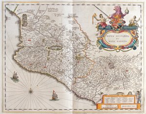
 (for detail see 84597) - (MeisterDrucke-170581).jpg "Mapa del Pacífico, China y América, 1589, de Abrahamus Ortelius (1527-98)")

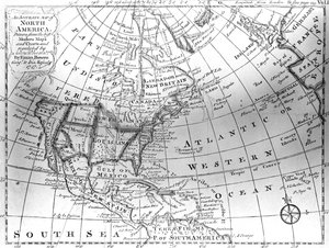
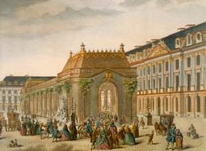
.jpg "Mapa del mundo conocido, de la «Geographia»")

.jpg "Tañedora de laúd")
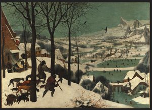
.jpg "Salida de la luna sobre el mar")
.jpg "El Grammont")
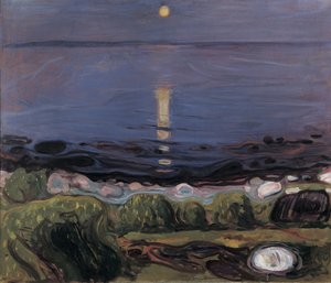
.jpg "Café turco")
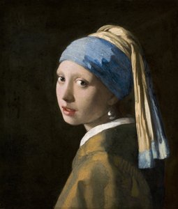
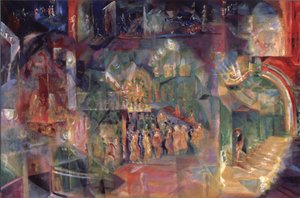
.jpg "Primavera, doncella recogiendo flores, de la villa de Varano en Estabia, hacia 15 a. C.-60 d. C.")

 +43 4257 29415
 support@meisterdrucke.com
 Mo-Do: 7:00 - 16:00 | Fr: 7:00 - 13:00