-
 ×
- Inicio
- Impresiones artísticas ▸
- Artista ▸
- Categoria ▸
- Estilos artísticos ▸
- Marco de fotos ▸
- Medios de comunicación impresos ▸
- Todos los soportes de impresión
- Lienzo Leonardo (satinado)
- Lienzo Salvador (mate)
- Lienzo Raphael (mate)
- FineArt foto mate
- FineArt foto satinado
- FineArt foto baryte
- FineArt Photo Glossy
- Acuarela Cartón Munch
- Acuarela Cartón Renoir
- Acuarela Cartón Turner
- Acuarela Cartón Dürer
- Natural Line Hemp
- Natural Line Rice
- Kozo White, 110g
- Kozo Natural, 110g
- Inbe White, 125g
- Unryu, 55g
- Bamboo, 110g
- Premio Unryu, 165g
- Murakumo Natural, 42g
- Bizan Natural, 300g
- Bizan White, 300g
- Compuesto de aluminio 3mm
- Vidrio acrílico 5mm
- Ordene un Set de Prueba
- ¿Qué medio de impresión es el adecuado?
Lienzo
Papel fotográfico
Cartulina para acuarela
Natural Line
Papel japonés
Soportes especiales
Más información
- Ayuda y servicio ▸
- Contáctanos
- Vende tu arte
- Preguntas frecuentes
- Puestos vacantes
- Reclamación
- Pedir muestras
- Pedir vales
- Costes de envío
- Tiempo de producción
- Sostenibilidad
- Búsqueda de imágenes
- Solicitudes especiales
- ¿Quiénes somos?
- Política de precios
- Política de la empresa
- Compromiso de calidad
- Distinciones
- Bastidor
- Paspartú
- Marcos decorativos
- Acristalamiento
- Filetes
- Sistemas de montaje
- Soportes de impresión
- Consejos de cuidado
- Pie de imprenta
- AGB
- Privacidad
- Derecho de revocación
Información y servicio
Más información
Cosas que vale la pena saber
Información legal
- Tienda ▸
- Contacto





 Ver en 3D / RA
 Agregar a los favoritos
 Seleccione color de fondo
 Ver pintura en una habitación
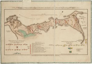
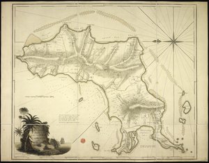
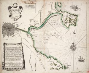
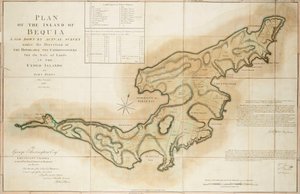
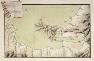
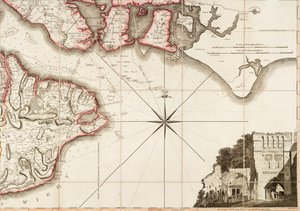
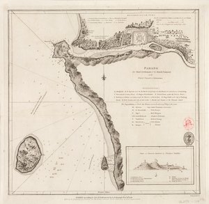
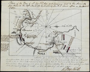
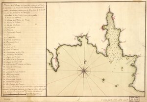
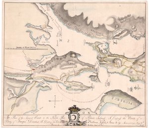
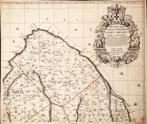
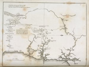
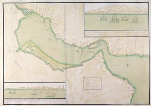
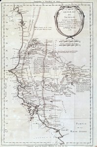
.jpg "Mapa de la Costa de África, 1753")
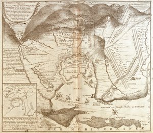
_(Engraving_-_(MeisterDrucke-971666).jpg "Mapa de Toulon (Francia)")
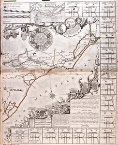
 - (MeisterDrucke-543314).jpg "El mapa del canal de Ladoga (1741-42)")
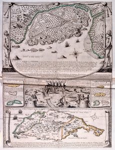
.jpg "Mapa del Canal du Midi, con sus acueductos")
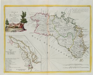
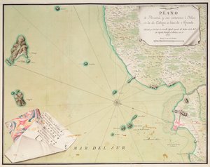
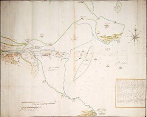
.jpg "Plano de la bahía de Gale")
.jpg "Melencolia I")
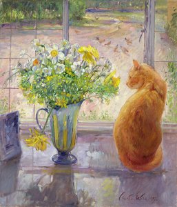
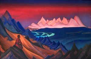
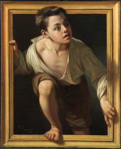
 - (MeisterDrucke-56929).jpg "La tentación de san Antonio, panel derecho, detalle de una pareja montada sobre un pez")
 - (MeisterDrucke-50605).jpg "Caprichoso, 1930")
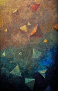
.jpg "Caminos de tiza")
.jpg "Efecto de primavera, Giverny, 1890")
.jpg "Siega de heno")

 +43 4257 29415
 support@meisterdrucke.com
 Mo-Do: 7:00 - 16:00 | Fr: 7:00 - 13:00