-
 ×
- Inicio
- Impresiones artísticas ▸
- Artista ▸
- Categoria ▸
- Estilos artísticos ▸
- Marco de fotos ▸
- Medios de comunicación impresos ▸
- Todos los soportes de impresión
- Lienzo Leonardo (satinado)
- Lienzo Salvador (mate)
- Lienzo Raphael (mate)
- FineArt foto mate
- FineArt foto satinado
- FineArt foto baryte
- FineArt Photo Glossy
- Acuarela Cartón Munch
- Acuarela Cartón Renoir
- Acuarela Cartón Turner
- Acuarela Cartón Dürer
- Natural Line Hemp
- Natural Line Rice
- Kozo White, 110g
- Kozo Natural, 110g
- Inbe White, 125g
- Unryu, 55g
- Bamboo, 110g
- Premio Unryu, 165g
- Murakumo Natural, 42g
- Bizan Natural, 300g
- Bizan White, 300g
- Compuesto de aluminio 3mm
- Vidrio acrílico 5mm
- Ordene un Set de Prueba
- ¿Qué medio de impresión es el adecuado?
Lienzo
Papel fotográfico
Cartulina para acuarela
Natural Line
Papel japonés
Soportes especiales
Más información
- Ayuda y servicio ▸
- Contáctanos
- Vende tu arte
- Preguntas frecuentes
- Puestos vacantes
- Reclamación
- Pedir muestras
- Pedir vales
- Costes de envío
- Tiempo de producción
- Sostenibilidad
- Búsqueda de imágenes
- Solicitudes especiales
- ¿Quiénes somos?
- Política de precios
- Política de la empresa
- Compromiso de calidad
- Distinciones
- Bastidor
- Paspartú
- Marcos decorativos
- Acristalamiento
- Filetes
- Sistemas de montaje
- Soportes de impresión
- Consejos de cuidado
- Pie de imprenta
- AGB
- Privacidad
- Derecho de revocación
Información y servicio
Más información
Cosas que vale la pena saber
Información legal
- Tienda ▸
- Contacto






 Ver en 3D / RA
 Agregar a los favoritos
 Seleccione color de fondo
 Ver pintura en una habitación

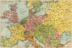
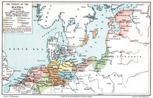
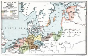
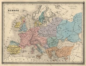
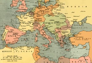
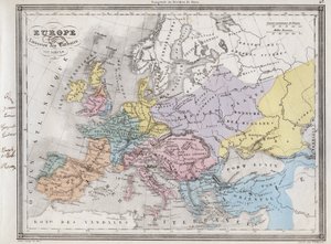
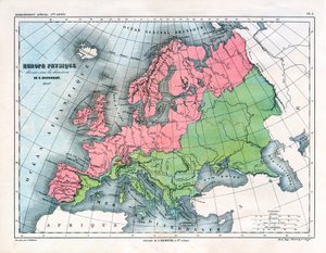
.jpg "El Imperio de Carlomagno, del Atlas Historique et Pittoresque, por M J-H Schnitzler, 1857")
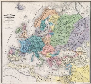
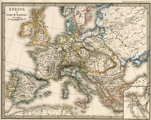
.jpg "Países recorridos por los apóstoles y mostrando los viajes de San Pablo entre Asia y Europa")
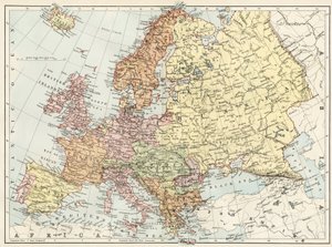
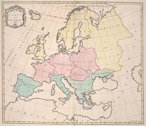

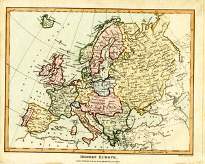
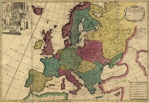
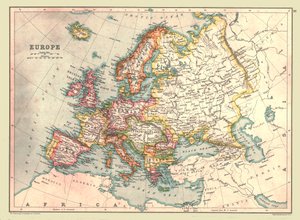
.jpg "Europa de Johnson publicada por Johnson y Ward")
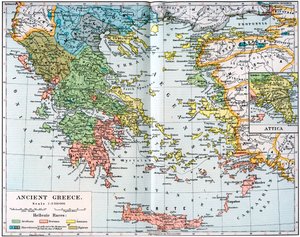

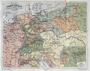
.jpg "Nueva geografía universal")
.jpg "Iglesia y casita con ventanas iluminadas")
.jpg "Retrato del rey Ricardo III")
 c1740-50 - (MeisterDrucke-77045).jpg "Kidbrooke Park, Kent, anteriormente atribuido a George Lambert (1700-65) c.1740-50")
.jpg "Mapa detallado de la península de Galípoli y los Dardanelos, Turquía, 1915, de «The War Illustrated Album deLuxe», publicado en Londres, 1916")
.jpg "Mapa del mundo con las posesiones del Imperio británico coloreadas en rojo, hacia 1870")
 - (MeisterDrucke-89706).jpg "Mapa del mundo, basado en las descripciones y coordenadas dadas en la «Geographia», publicada por primera vez en Ulm, Alemania")
.jpg "Detalle de Constantinopla y Oriente Medio de la copia del mapa de Peutinger")
 1577-2580 - (MeisterDrucke-88442).jpg "Mapa mundial detallando las expediciones y circunnavegación global de Sir Francis Drake (c.1540-96) 1577-2580")
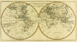
 - (MeisterDrucke-105320).jpg "Mapa del mar Negro")
.jpg "Ms Ital 550.0.3.15 fol.2r Mapa de Europa, de «Carte Geografiche»")
.jpg "Mapa del Ferrocarril Transiberiano, producido por J. Bartholomew y Co., c.1920")
 - (MeisterDrucke-156653).jpg "Mapa de la batalla de Craonne, publicado por William Blackwood and Sons, Edimburgo y Londres, 1848")
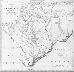
 Sir Francis Drake (1540-96) and (right) Thomas Cavendish (1560-92) c1595 - (MeisterDrucke-68010).jpg "Mapa del mundo; Vera Totius Expeditionis Nauticae, que representa la circunnavegación del globo por (izquierda) Sir Francis Drake (1540-96) y (derecha) Thomas Cavendish (1560-92), hacia 1595")
.jpg "Mapa Plegado de Wallis de la Ciudad de Londres y Westminster, 1799")
.jpg "Vista panorámica del Mar Báltico y la ruta de la flota desde Spithead hasta San Petersburgo, de mapas y cartas del gobierno hechos bajo la supervisión de un oficial en la expedición bajo Sir Charle")
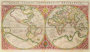
 - (MeisterDrucke-135768).jpg "Nuevo y correcto mapa del mundo trazado según los descubrimientos más recientes y las observaciones más exactas, 1736")

.jpg "Composición VIII. Pintura de Wassily Kandinsky (o Wassily Kandinski o Kandinskij, 1866-1944). 1915 Sol. 201x140 cm Nueva York, Museo Guggenheim")
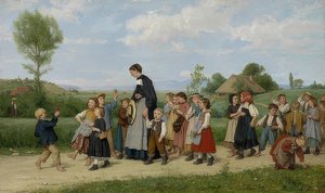
.jpg "El cazador de mariposas")
.jpg "Pequeño roble")
.jpg "Palas Atenea (con armadura)")
.jpg "Nenúfares blancos, 1899")
.jpg "El caminante sobre el mar de nubes")
.jpg "Dos mujeres abrazándose")
.jpg "La excursión en barca por el Meurthe")
.jpg "Membrillo, col, melón y pepino, hacia 1602")

 +43 4257 29415
 support@meisterdrucke.com
 Mo-Do: 7:00 - 16:00 | Fr: 7:00 - 13:00