-
 ×
- Inicio
- Impresiones artísticas ▸
- Artista ▸
- Categoria ▸
- Estilos artísticos ▸
- Marco de fotos ▸
- Medios de comunicación impresos ▸
- Todos los soportes de impresión
- Lienzo Leonardo (satinado)
- Lienzo Salvador (mate)
- Lienzo Raphael (mate)
- FineArt foto mate
- FineArt foto satinado
- FineArt foto baryte
- FineArt Photo Glossy
- Acuarela Cartón Munch
- Acuarela Cartón Renoir
- Acuarela Cartón Turner
- Acuarela Cartón Dürer
- Natural Line Hemp
- Natural Line Rice
- Kozo White, 110g
- Kozo Natural, 110g
- Inbe White, 125g
- Unryu, 55g
- Bamboo, 110g
- Premio Unryu, 165g
- Murakumo Natural, 42g
- Bizan Natural, 300g
- Bizan White, 300g
- Compuesto de aluminio 3mm
- Vidrio acrílico 5mm
- Ordene un Set de Prueba
- ¿Qué medio de impresión es el adecuado?
Lienzo
Papel fotográfico
Cartulina para acuarela
Natural Line
Papel japonés
Soportes especiales
Más información
- Ayuda y servicio ▸
- Contáctanos
- Vende tu arte
- Preguntas frecuentes
- Puestos vacantes
- Reclamación
- Pedir muestras
- Pedir vales
- Costes de envío
- Tiempo de producción
- Sostenibilidad
- Búsqueda de imágenes
- Solicitudes especiales
- ¿Quiénes somos?
- Política de precios
- Política de la empresa
- Compromiso de calidad
- Distinciones
- Bastidor
- Paspartú
- Marcos decorativos
- Acristalamiento
- Filetes
- Sistemas de montaje
- Soportes de impresión
- Consejos de cuidado
- Pie de imprenta
- AGB
- Privacidad
- Derecho de revocación
Información y servicio
Más información
Cosas que vale la pena saber
Información legal
- Tienda ▸
- Contacto






 Ver en 3D / RA
 Agregar a los favoritos
 Seleccione color de fondo
 Ver pintura en una habitación
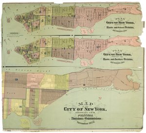
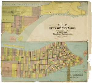
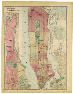
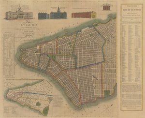
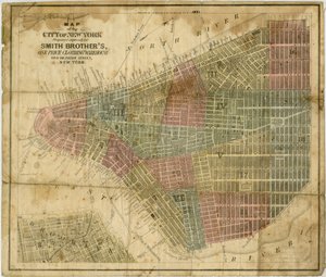
.jpg "Mapa de la Ciudad de Nueva York [hasta la calle 53 Este], 1885")
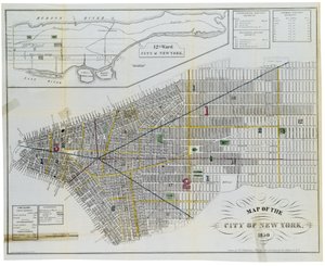
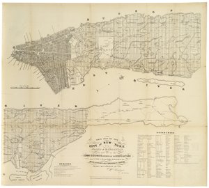
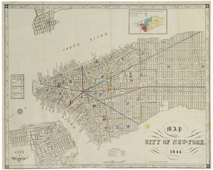
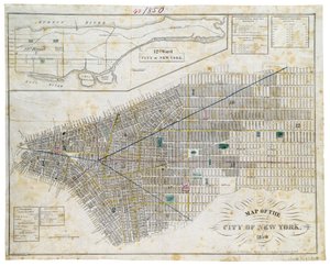
.jpg "Mapa que muestra la marca de agua alta y baja y las concesiones originales de la ciudad de terrenos bajo el agua hechas a varias partes desde 1686 hasta 1873, extendiéndose desde Battery hasta la Calle Cincuenta y Uno, Judson y East Rivers")
.jpg "Guía del bombero - Un mapa de Nueva York que muestra los distritos de bomberos, 1834")

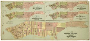
.jpg "Mapa de la ciudad consolidada de Brooklyn, 1861")
.jpg "Plano de Nueva York [en Manhattan, hasta la calle 46], 1860")
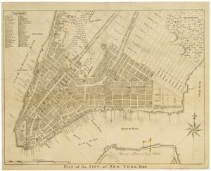
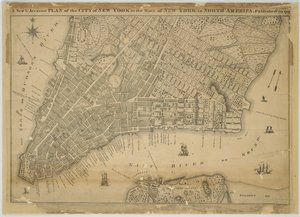
.jpg "Plano de la Ciudad de Nueva York, grabado por Tiebout, 1789")
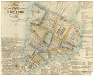
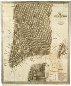
.jpg "Plano de la Ciudad de Nueva York [hasta la calle 31 Este], 1817")
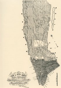
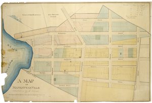
.jpg "Mapa de la ciudad y los alrededores del condado de Nueva York con caracteres originales e ilustraciones, 1850")
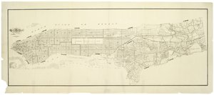

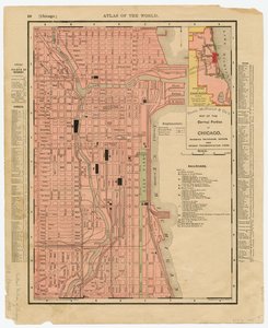

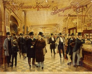
.jpg "El puerto de Nueva York: vista de pájaro desde Battery, mirando hacia el sur, publicado en 1878")
.jpg "Cartel publicitario: «The Barnum and Bailey Greatest Show on Earth, la institución de entretenimiento más grandiosa, grande y mejor del mundo», hacia 1895")
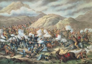
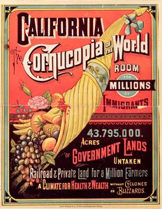
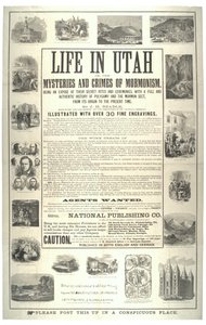
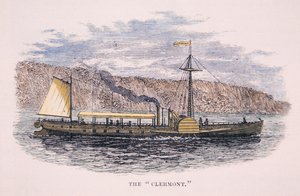
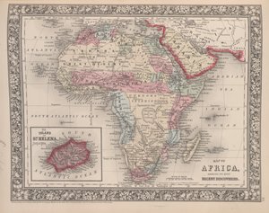
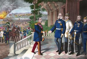
 - (MeisterDrucke-75551).jpg "Retrato del general William Tecumseh Sherman (1820-91)")
.jpg "Cartel publicitario de The Sandow Trocadero Vaudevilles, c. 1894")
 - (MeisterDrucke-22060).jpg "Melocotoneros rosas (Souvenir de Mauve)")
.jpg "El estado salvaje de El curso del imperio")
.jpg "Caza de ballenas en el mar polar")
.jpg "Cisnes entre los juncos, hacia 1820")
.jpg "Santo Tomás de Aquino")
.jpg "Juana de Arco, 1865")
.jpg "Retrato de una joven, dibujo")
.jpg "Vista de los remolinos de Naruto en Awa, de la serie «Rokuju-yoshu Meisho zue» (Lugares célebres de las 60 y otras provincias)")
 - (MeisterDrucke-278342).jpg "Retrato de una mujer, 1909")

 +43 4257 29415
 support@meisterdrucke.com
 Mo-Do: 7:00 - 16:00 | Fr: 7:00 - 13:00